Kamenički Park
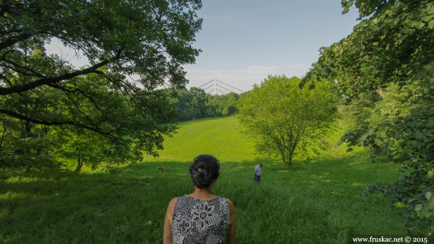
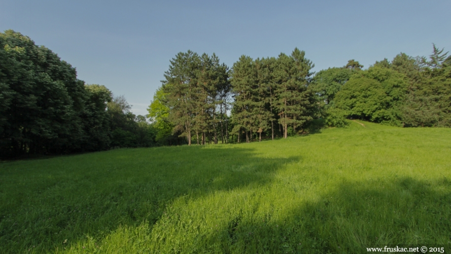
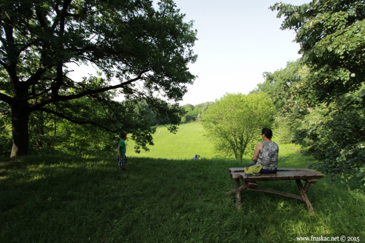
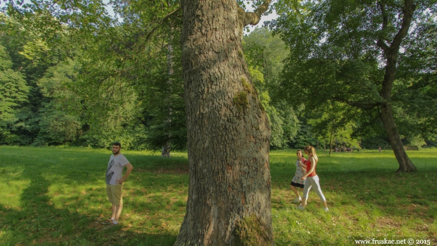
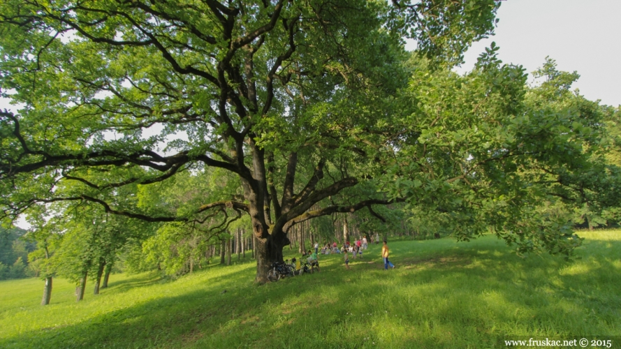
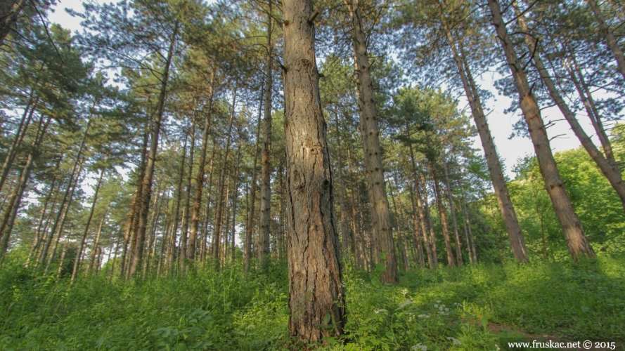
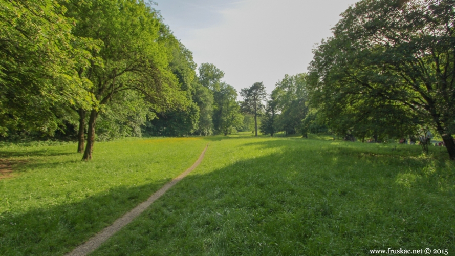
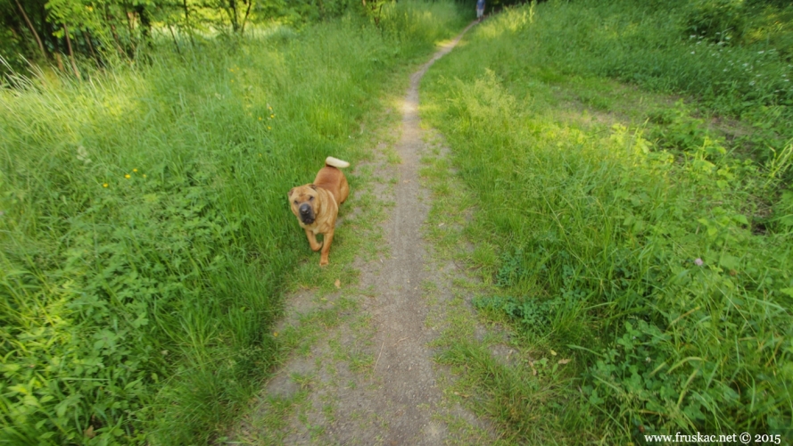
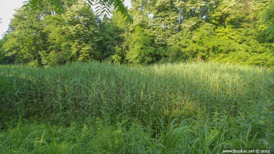
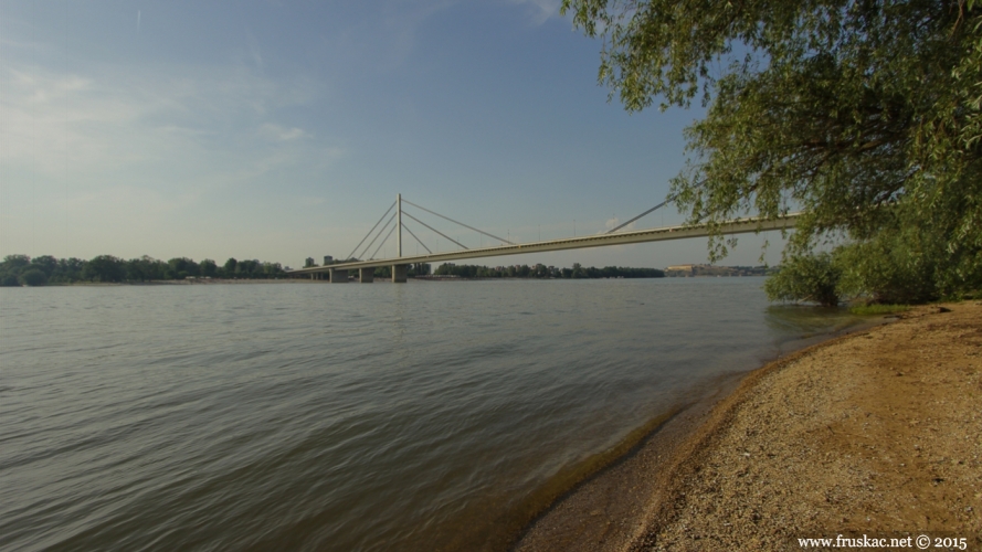
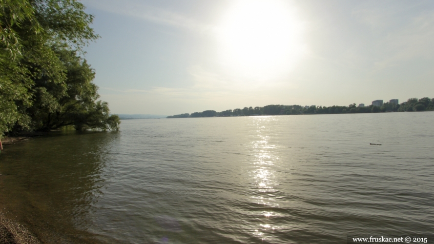
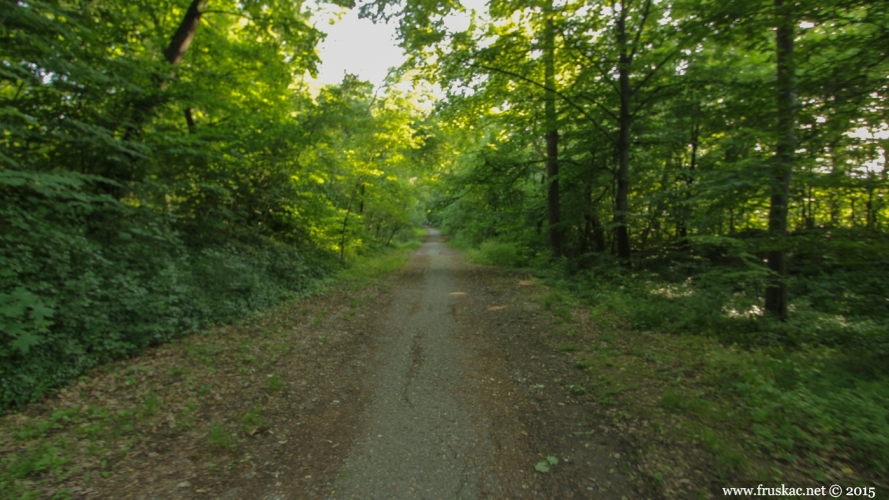
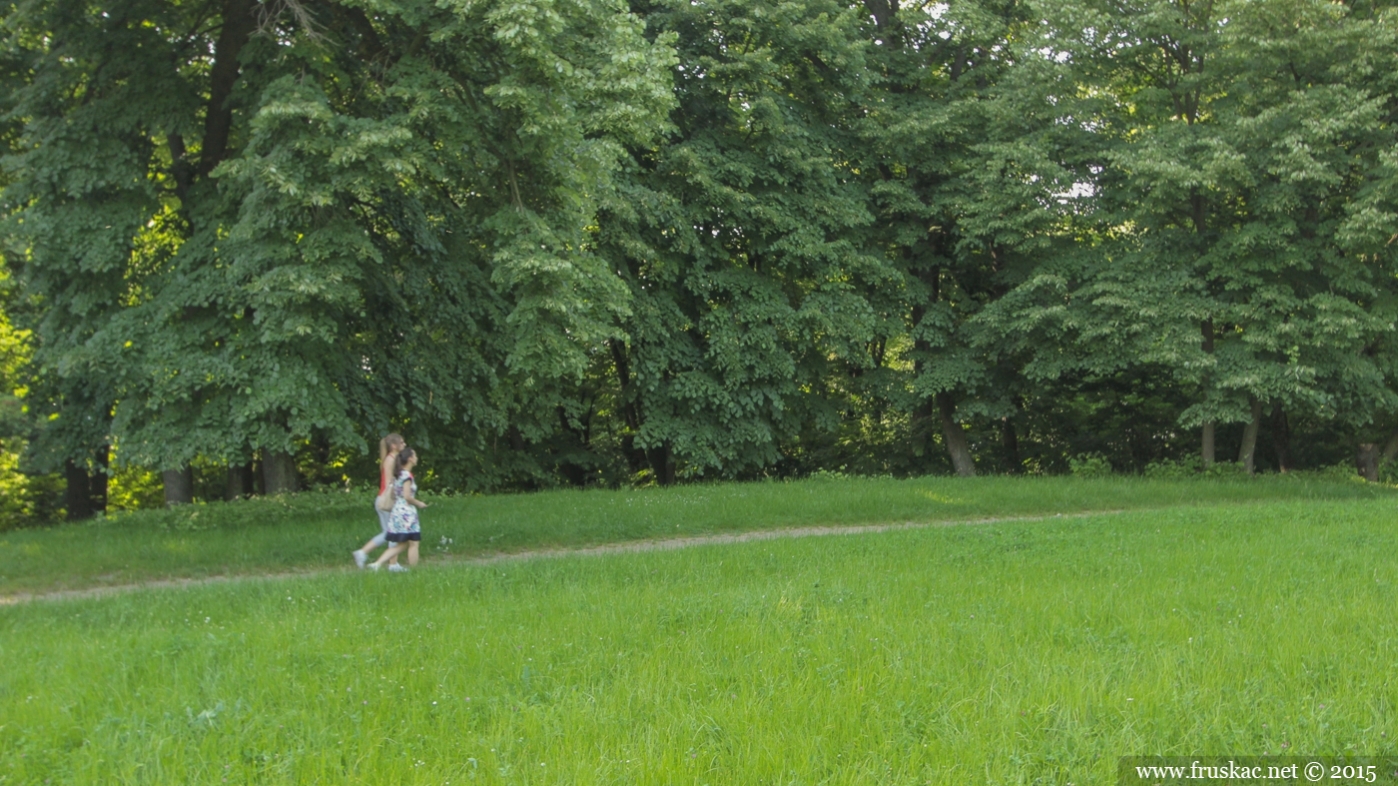
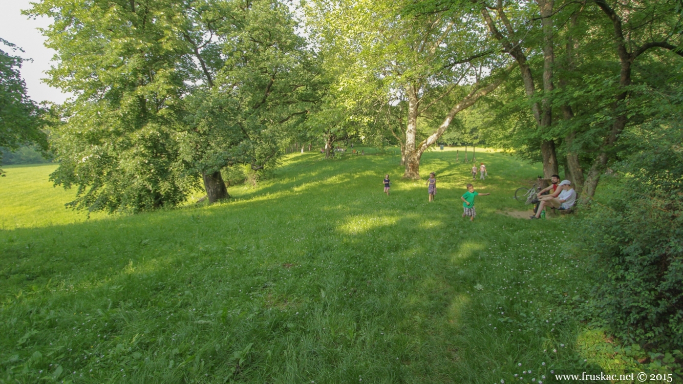
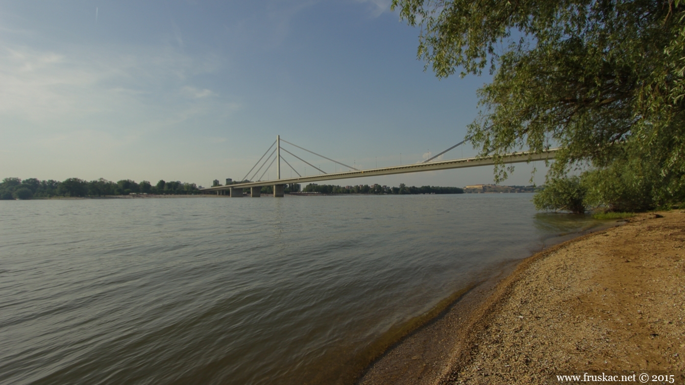
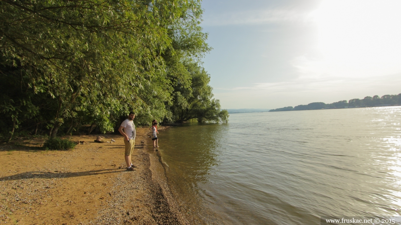
Across the Danube from the Strand, just by Sremska Kamenica, spreads the largest picnic area of Fruška Gora, and the largest park in Novi Sad. Most commonly used as a promenade, mountainbiking terrain, Kamenički Park is well-known as the setting of the largest local May Day festivities.
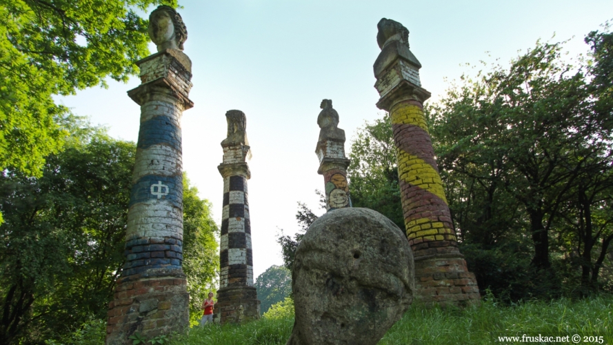
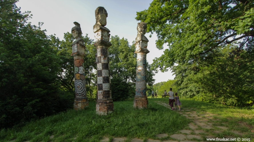
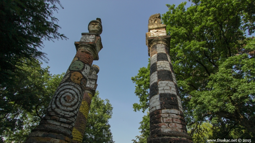
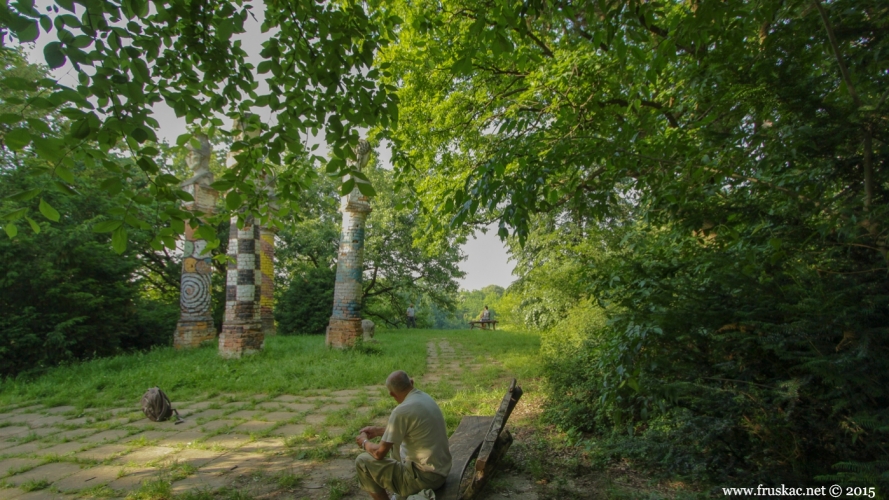
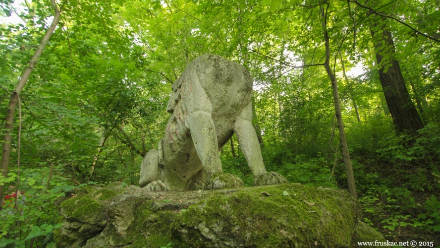
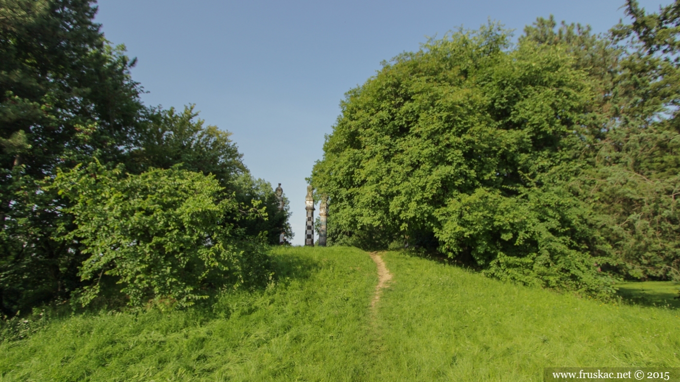
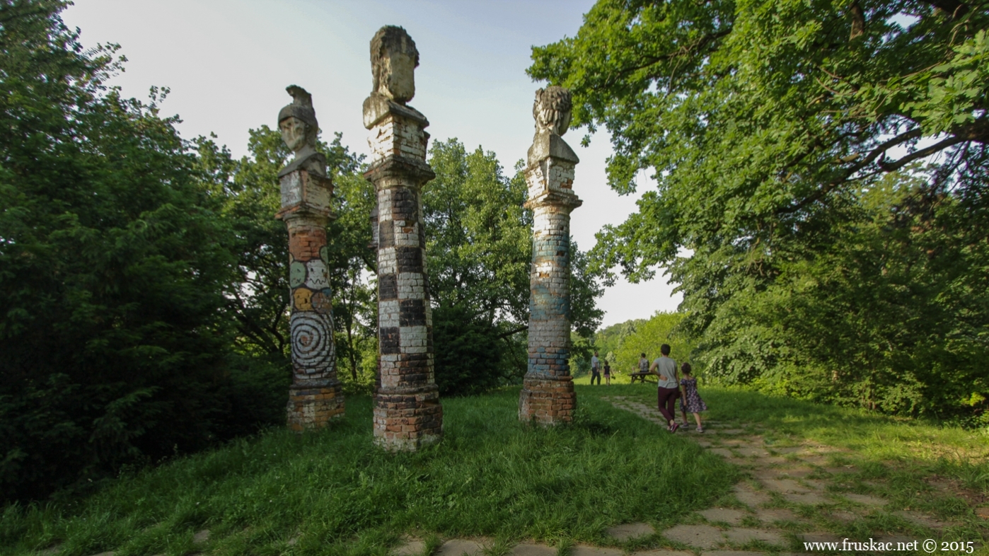
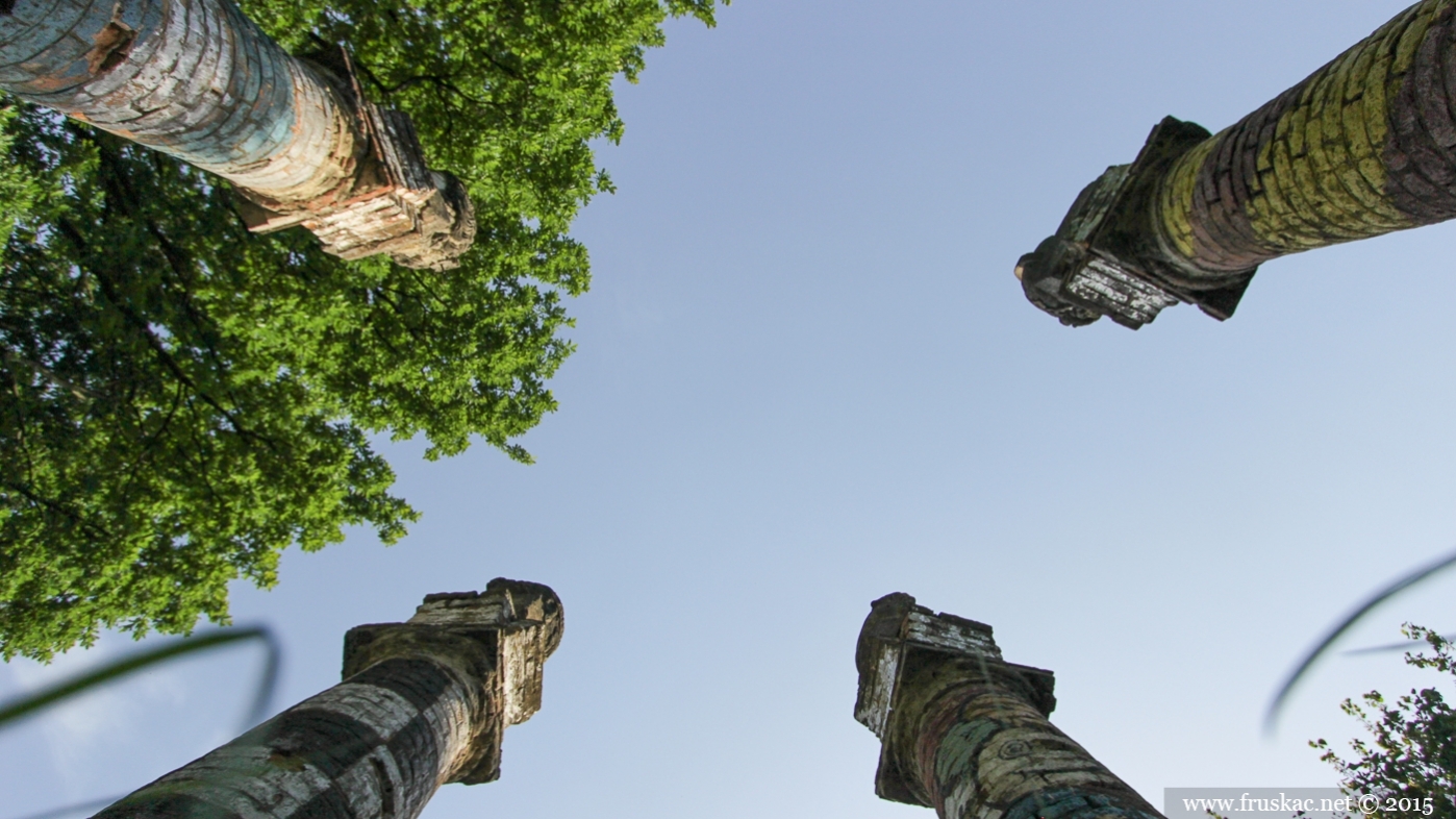
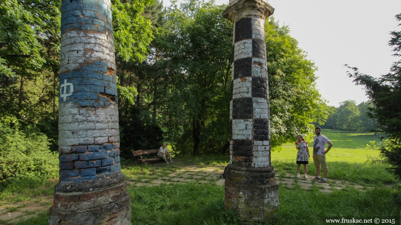
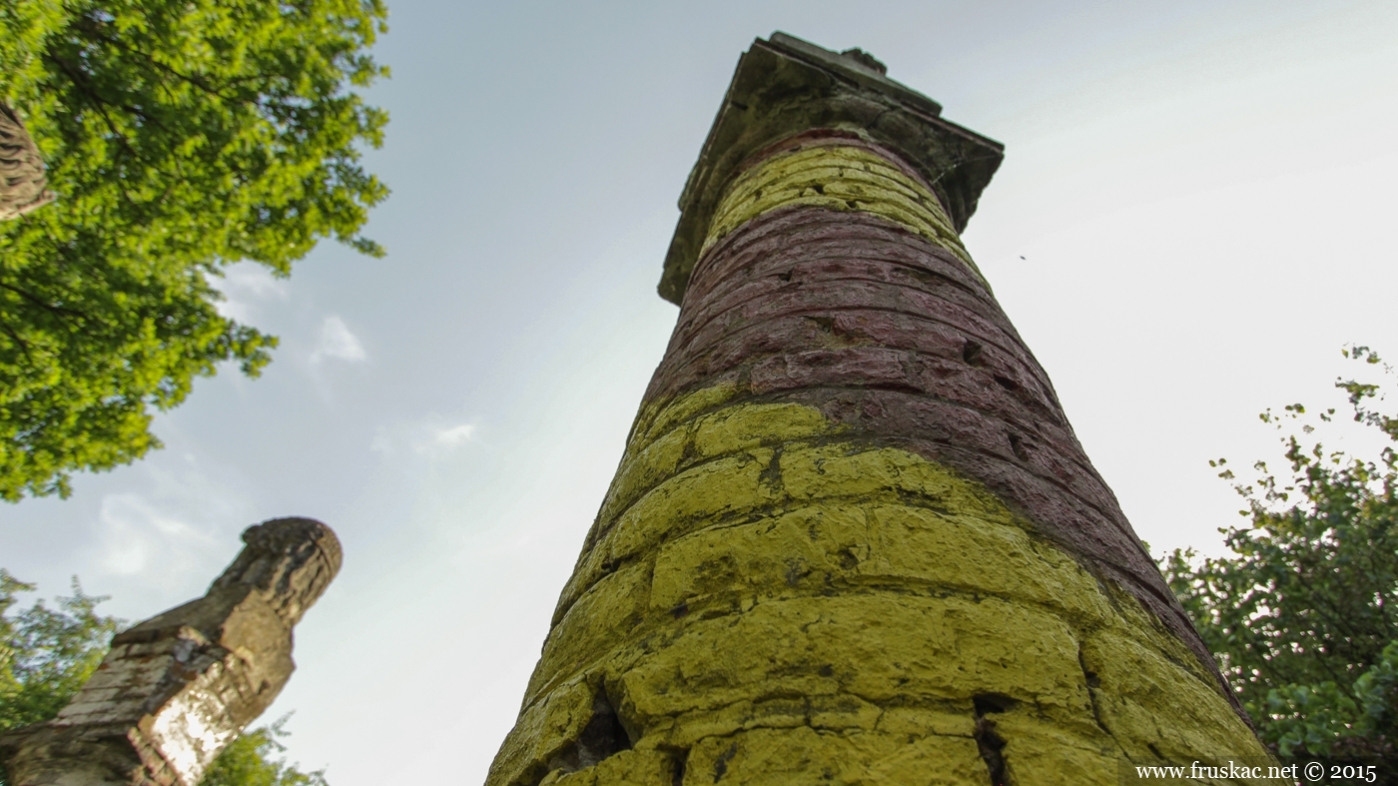
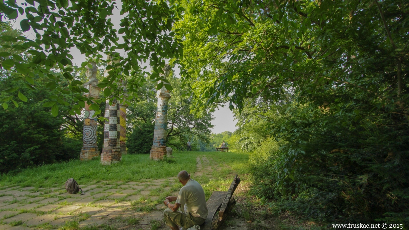
The original Kamenički Park was designed as the Marcibanji-Karačonji castle gardens, while the castle was still under construction, in 1758. Marcibanji-Karačonji castle was built in the classicist style and required a large green courtyard, modeled after English landscape gardens. The park included a promenade along the banks of the Danube, equestrian trails, five artificial lakes connected by a stream, wellsprings and rock benches, imported plants from all around the world, and several statues, of which the Five Heads, the Pompeiian Column, the Sphynx, and Amor and the Nymph still stand.
The wars and a series of new owners only added to the luxurious offers of Kamenički Park. A major of the American army and colonel in the Serbian army, John Frothingham, and his wife Jelena Lozanić, founded the House of Serbian-American Friendship.
Kamenički Park and the Marcibanji-Karačonji castle were declared public property following WWII, and the Marcibanji-Karačonji castle was announced a cultural monument in 1991.
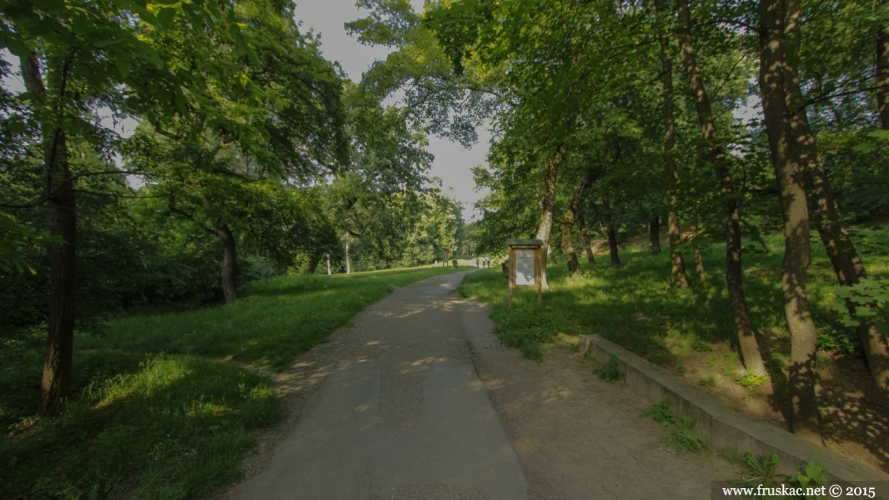
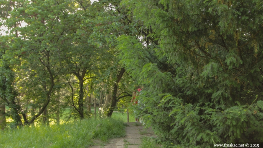
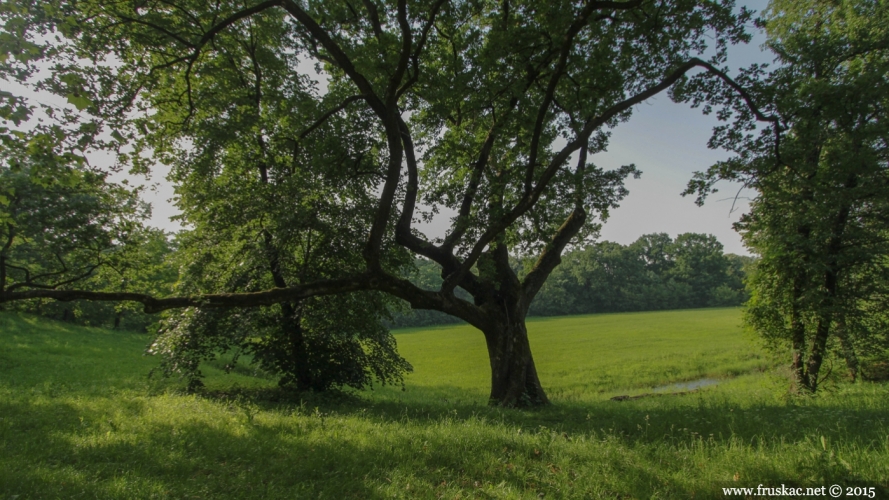
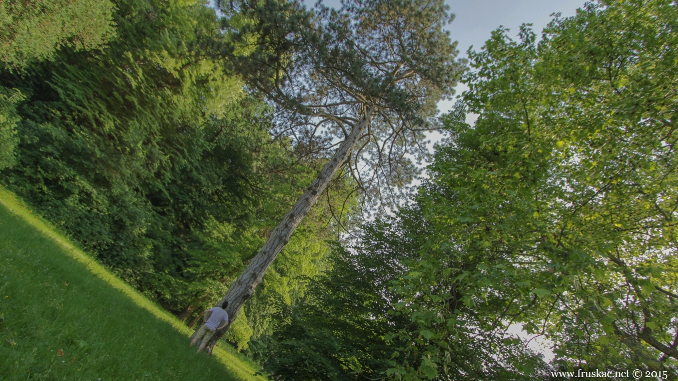
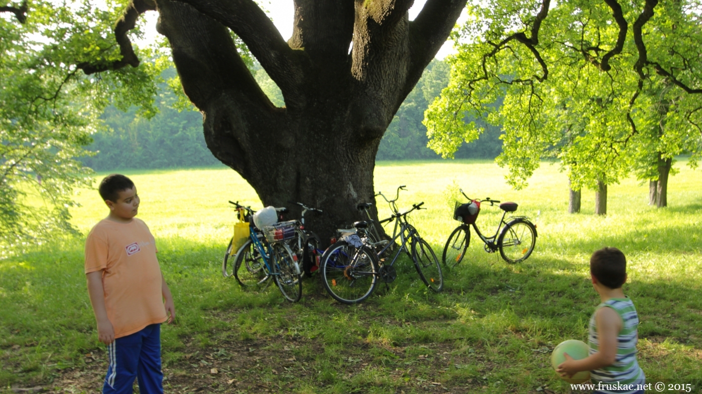
There is a small hill-lookout in the center of the Park – The Hill of Roses, where you can also find five statues that resemble roman soldiers (though some say that the faces were modeled after members of the Karačonji family). Two of the oldest oak trees in Novi Sad can be found nearby – both planted in 1805. Only two lakes remain of the original five, both drawing water from the source, but the stream now runs all the way to the Danube river. The Danube promenade remains the most beautiful promenade in the Park, but it is used less often than the path that leads from the tunnels and forks into two smaller trails. One of these trails leads up to the Dečije Selo orphanage.
Place: Sremska Kamenica
on the map location
- Lat: 45.228869
- Long: 19.849126
- Alt: 133 m
Comments
Facebook
DISQUS